skip to main
|
skip to sidebar
Map Catalog
Tuesday, November 4, 2008
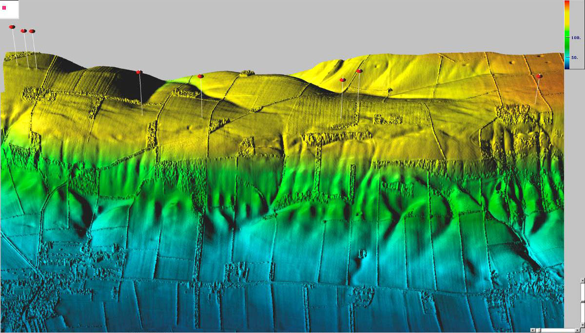
LIDAR
LIDAR is a remote sensing system. This image of Hilton Head was collected by an aircraft-mounted laser that is capable of recording elevation. This topographic data is documented in order to detect any shoreline changes.
http://www.csc.noaa.gov/products/sccoasts/html/tutlid.htm
No comments:
Post a Comment
Newer Post
Older Post
Home
Subscribe to:
Post Comments (Atom)
Followers
Blog Archive
▼
2008
(52)
►
December
(27)
▼
November
(15)
Isopach
Isohyets
Isotachs
Isobars
LIDAR
Doppler Radar
Black and White Aerial Photo
Infrared Aerial Photo
Cartographic Animation
Statistical Map
Cartogram
Flow Map
Isoline Map
Proportional Circle Map
Choropleth Map
►
October
(10)
About Me
Kari
View my complete profile

No comments:
Post a Comment